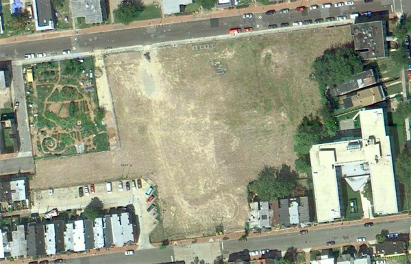
LeDroit Park from the Sky
What were you doing on Sunday, August 29, 2010? If you were outside shortly after 1 pm, chances are Google Maps caught you on camera from a satellite.
Google recently updated its satellite imagery of the Washington area and the new photos illustrate just how much the region has changed. The most noticeable difference in LeDroit Park is the disappearance of the Gage-Eckington School and the establishment of the Common Good City Farm.
For a listing of other notable changes visible from the sky, have a look at our article at Greater Greater Washington.


Very interesting. How can you tell the date and time the image was taken by the satellite?